Day 101 John O’Groats to Dunnet Head 15mls

So much for thinking the last stretch was a short one. It turned out that I’d missed a bit out when I’d printed out the map sheets.

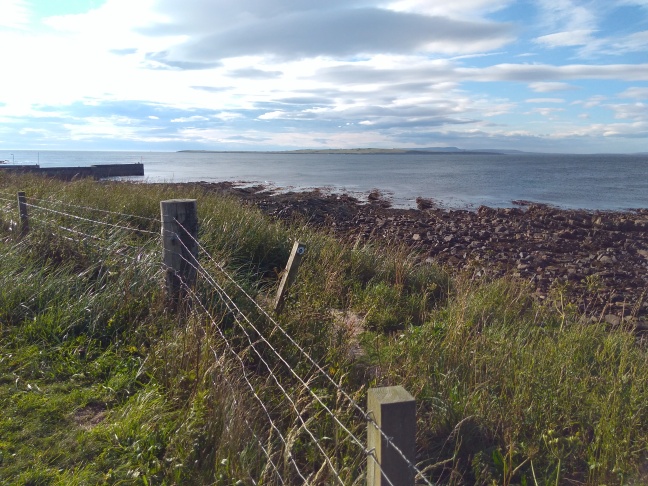
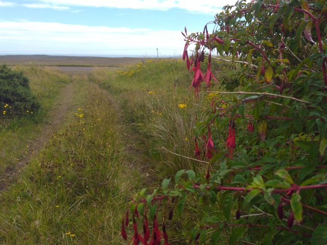
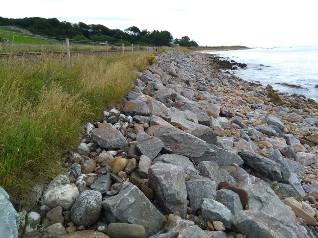
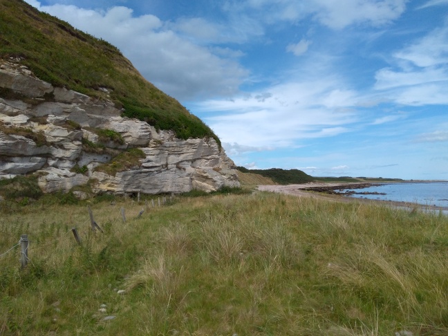
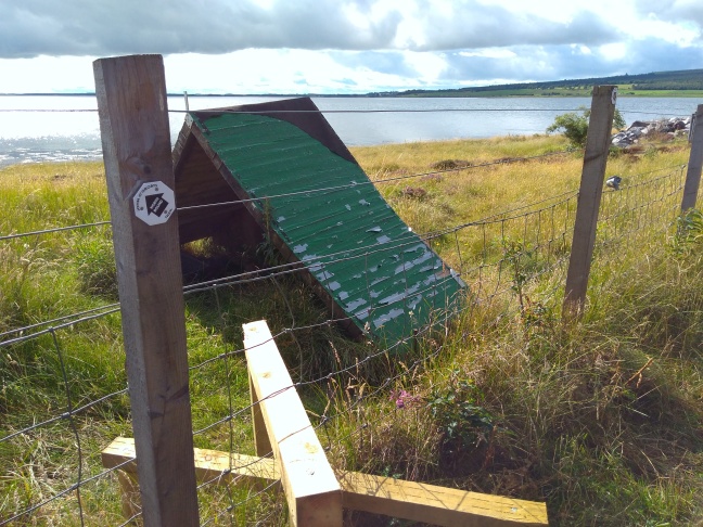
I had a grandstand view of the sea from my tent at last nights campsite. The wind was strong, but coming from the south so blowing me in the right direction. Ha,yet another barbed wire fence in this photo, but at least I didn’t have to cross this one.

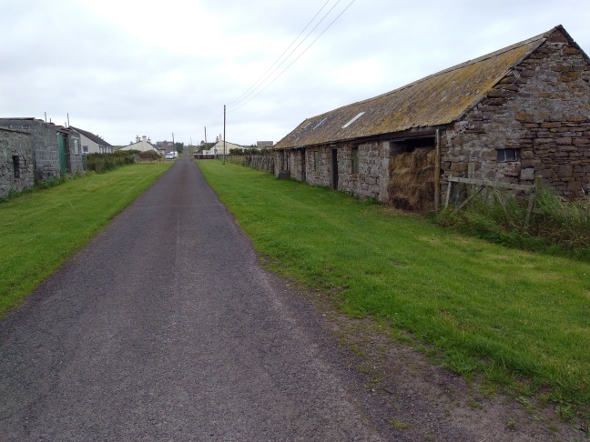
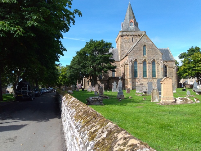
The required photo of the John O’Groats signpost. Nice and early so no crowds around.Then it’s off on my last mega road hike. I stopped for a rest at Cannisby church where there was a bench out of the wind.

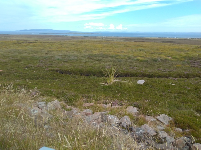
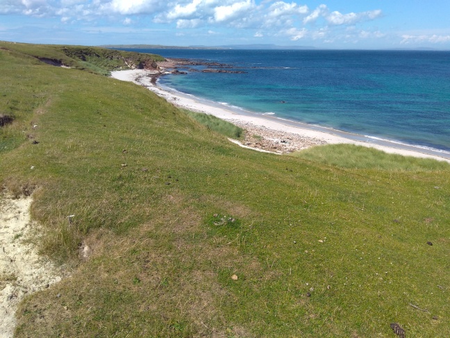
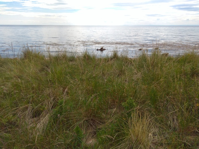
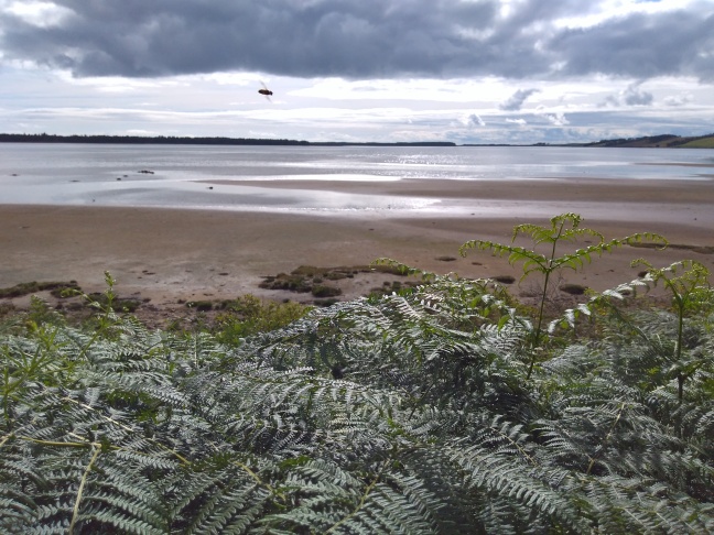
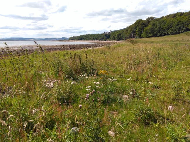
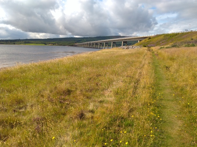
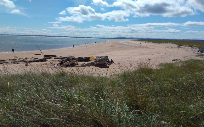
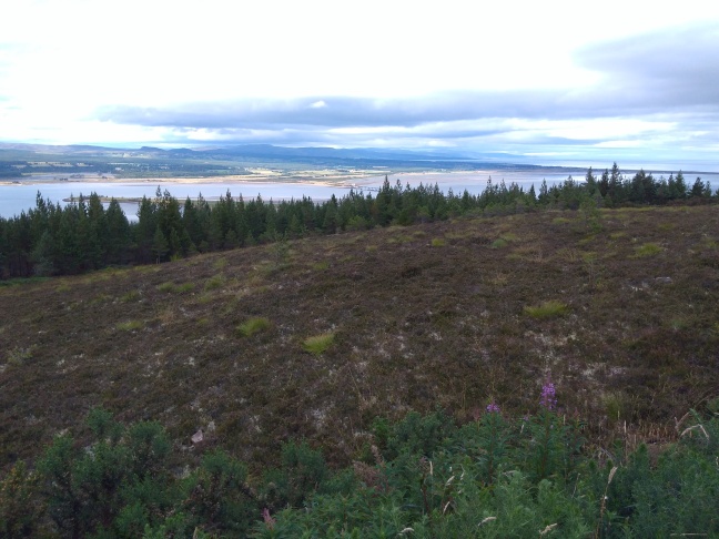
The view of the Orkney islands was lovely, but with a choppy sea, I’m sure the ferry passengers were not so enthusiastic.

I was interested to see the church still had an ancient harmonium standing in a corner.

There was also the gravestone of Jan de Groot( John O’Groats), from the Sixteenth century. It was moved to the church in more recent times.

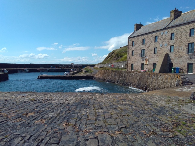
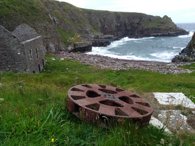
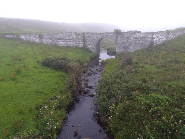
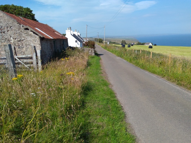
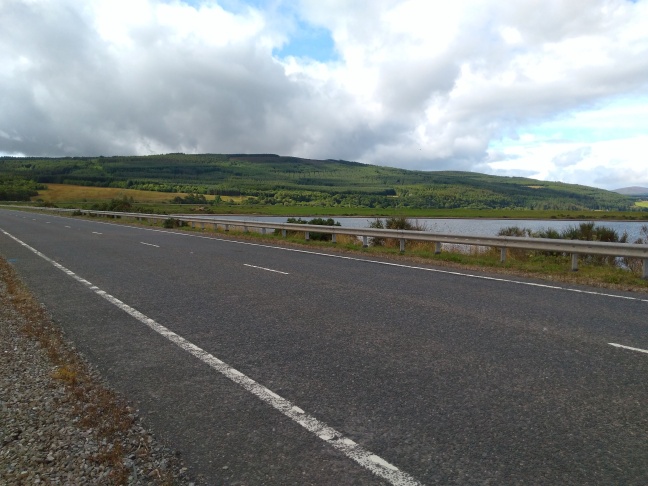
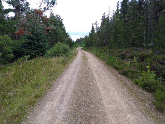
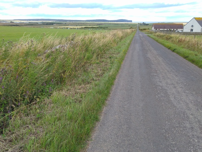
After I’d passed the ferry terminal,I walked up a track and joined a very much smaller road.

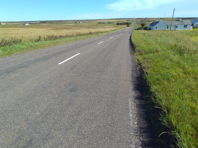
The single track road was quieter to start with, but in Caithness roads are often very straight, and distances slightly depressing. Dunnet Head can be seen far, far away.

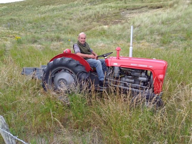
Things were livened up later by three large tractors and trailers which were moving loads of stone and which kept passing me. The game was called ‘can you get to the passing bay before the juggernaut squishes you’. Actually it wasn’t that bad, as the drivers were very polite.

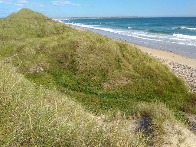
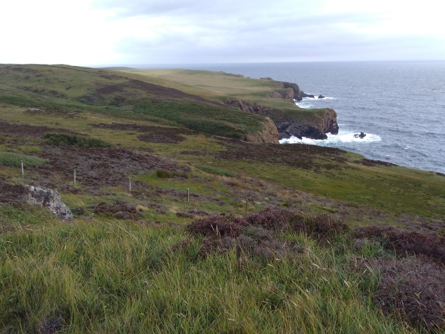
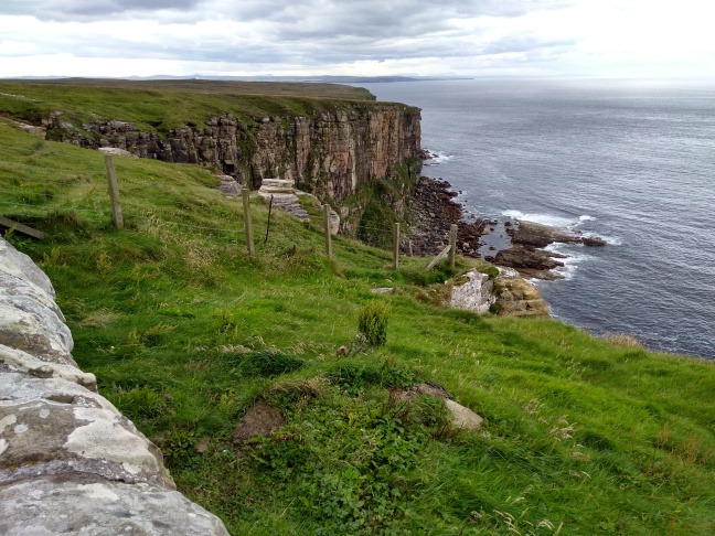
Eventually I reached the coast again at the start of Dunnet Head. The cliffs grew increasingly high from here.

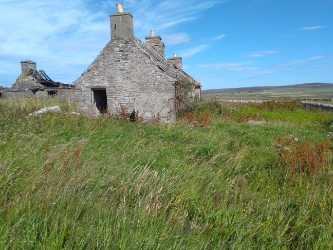
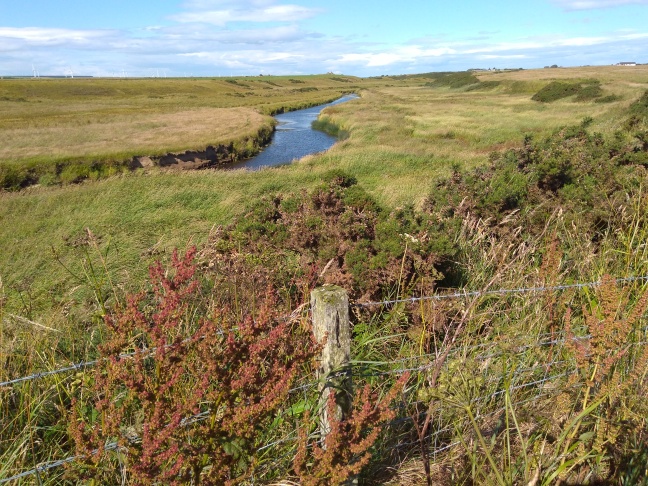
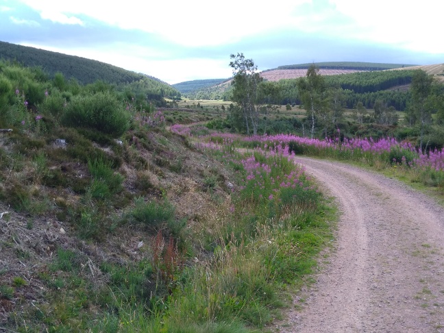
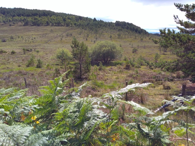
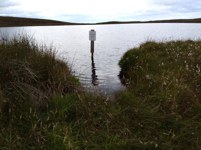
The landscape was now much more scenic with little lochs and an old tumbledown mill. The marshes were full of birds. Roads were back to having bends.

When I saw a cafĂ©,my heart leapt,but no,it was firmly closed. Instead,I sat outside and ate my lunch. A passing German campervan stopped, presuming that food was being served. I overheard the following:’ Can we order food?’. ‘No , we’re shut’. Pointing at me ,’ But this person is eating’. ‘ No, we’re shut’. With much rolling of eyes,and hand gestures he drove off.

In all truth,why would a cafe be closed at midday,in peak season on a tourist route?

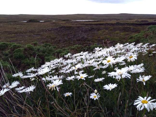
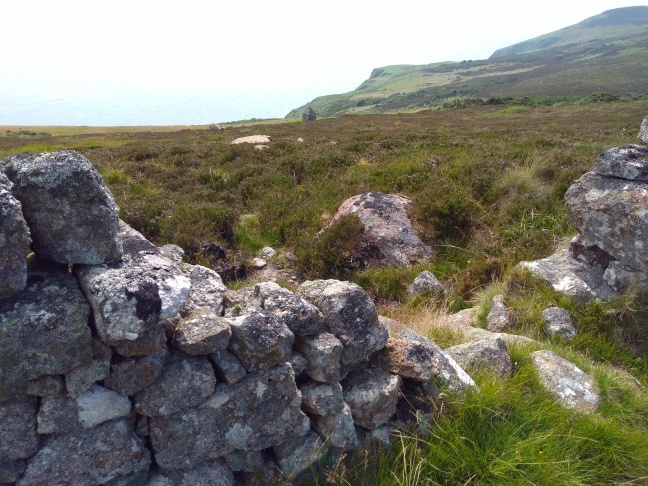
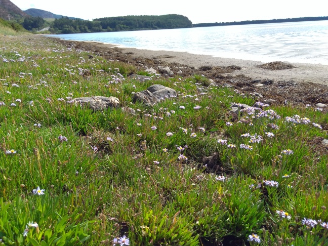
As the cliffs became higher, the landscape returned to moorland. Some flowers were definitely out of place.

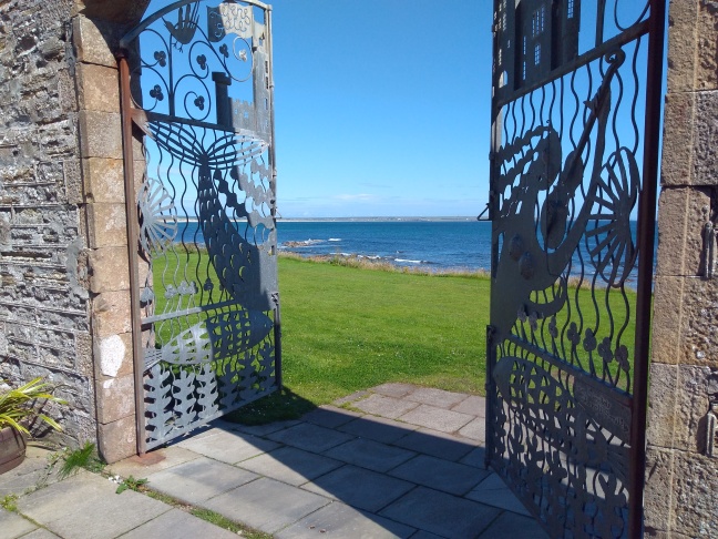
The road wound up and around, and then at the top of the last hill, there were the gates to the lighthouse and the end of my journey.

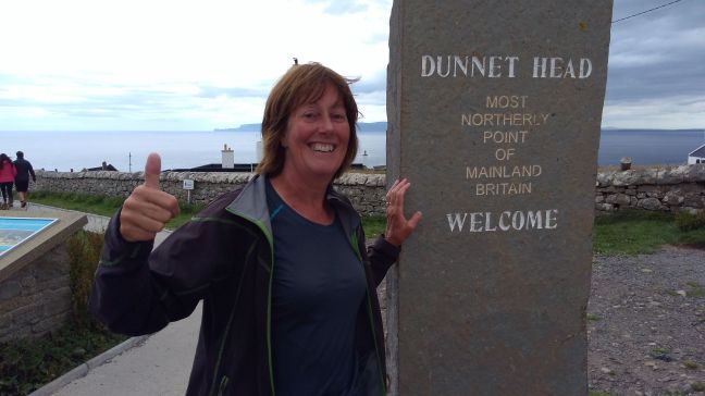
Dunnet Head was a suitably dramatic venue for the end of my adventures. Amazing views all around up to the islands and back at where I’d been. In fact way more impressive than John O’Groats,in the same way that Lands End was overshadowed by the Lizard.

I was met by Martin for yet more photos before we headed off to find somewhere for a nice cup of tea or three. Now my last challenge is to learn not to take uht milk sachets or paper napkins from cafes because they might be useful.

Day 100 Keiss to John O’Groats 11mls

Just in case anyone should be thinking that this is it, she’s got there and thank goodness no more blog reports to read, that happens tomorrow. I have to reach Dunnet Head as the opposite point to The Lizard. Appropriately named I think.

I’d gone as far as the fence bordering the old and new Keiss castles yesterday, and was undecided whether to go by road or try the coast path again. Rain poured down in the night,so that rather decided things for me.

At least the sun was out now and I got up a good pace, but the sea looked so beautiful. After about a mile,I reached an open gateway of a big grass field going right down to the cliffs and went through. I should have known better. Straight back to scrambling over wire fences on cliff edges and then knee high wet vegetation.

I persevered until the Tress Barry monument, after which there was a real proper path leading to a small car park. If only the rest had been like that.

Boots and trousers were now soaking wet,so that’s it JOG trail, I’m on the road for the rest of the way.

Unfortunately there’s not a great deal to say about road walking even in nice weather. I hoped someone had dropped a ten pound note,or even a fiver but no luck with either.

I noticed this 1919 monument on the gate posts of Freswick community centre. It’s a bit weathered but a completely different type of war memorial. There was a navy representative on the other post.

Nearly all the old traditional houses were empty and falling down. Quite a number of newer ones were as well,so it’s definitely an aging population in this part of Scotland.

The road slowly ascended the sides of Warth hill. As I’d gone up the most southerly hill in Cornwall,I thought I’d better do the same for the hill nearest Duncansby Head.

To the south I could see for miles over the flat flow country, while to the north I could see both my end venues.

Beyond them I could see the Orkney islands.

On the way back to the road was a beautiful fuschia bush full of flowers. It was in the most unlikely of places, but perhaps it was in a sheltered spot.

At long last I passed the first sign welcoming me to John O’Groats, but I still had quite a way to go to Duncansby Head and the lighthouse.

The last part was all uphill on a small road full of cars and campervans, so not particularly pleasant.

Having taken the required photo and had a rest, the walk to the John O’Groats campsite was restful by comparison.

Day 99 Sarclet to Keiss 10mls

I whizzed down the A99 to Wick as fast as my little legs would carry me this morning.Four miles of utterly boring road, but being early, fairly low on traffic.

The land is pretty flat around here. Looking west towards Loch Hempriggs.

Wick cheered me up, firstly with coffee, and then by a lovely riverside path. This effectively cut out further main road walking or having to go right around Noss Head to avoid the airport.

At the end of the river path,I sneaked over a field,past a farm and straight up a track and then driveway to the rather smart Ackergill Tower.

Fancy staying in a 5 star hotel anyone?

The view of the coast from the gates was just magical.

A very short way along the coast path from the hotel,I bumped into more JOG trail markers,so I was back in action.

On to sandunes first and then when I reached Wick golf course,I took to the beach.

Yet again I could have been somewhere tropical. I had the place to myself and it was lovely.

Part way along I arrived at the Water of Lyth which I needed either to cross or go inland to a bridge. Thankfully it was shallow,so boots off and a little paddle ensued. Had I arrived at low tide, then I’m sure crossing over would have been even easier.

I liked the contrasting ripple effects where the sand of the more solid dunes met the soft beach sand.

The tide was still coming in, and I had to watch out for sneaky waves.

Old anti-tank defences were still in use against the sea nearer Keiss.

A coastal bungalow had incorporated them into the garden wall to good effect.

Nothing was too twee or ‘restored’ around here, with the result that the village had character.

Around the headland was the harbour which was still in use by small fishing boats. No tumbledown buildings here.

Day 98 Lybster to Sarclet 12mls

Very windy but dry this morning,so that’s a much better start. The JOG trail was being given a second chance,so after being dropped at the bustling metropolis of Lybster,I headed off, instruction sheet in hand.

Almost as soon as I passed the first field, a whole herd of obviously bottle fed lambs came bleating after me.

The vegetation on the cliff was rough but not impossible,and while there was only rarely a clear path, waymarking was visible. While the wind was certainly strong,it was blowing onshore,so there were some spectacular waves breaking. The high cliffs that caused me so much difficulty could just be seen to the south.

At various intervals there were impressive rocky inlets called Geos which dropped straight down to sea level. This was definitely not a walk for those suffering vertigo. Most local landowners made sure that walkers were kept on the seaward side of fences. Only rarely did the route come back inside fields,and then it was only because the path was within 2 feet of the vertical cliff face.

The morning was turning into a regular geography lesson. Sea stacks, arches and caves appeared in turn to test the knowledge.

The remains of the herring fishing industry could be seen at Clyth harbour. A few ruined buildings and a wall were all that was left, but given the waves that came in ,it must have been a hard place to work from.

The cliffs were also a hard place to walk on. Difficult terrain but also from the old fence wire and farm junk dumped there. I managed to rip a hole in the knee of my trousers from a meeting with one unseen strand of wire.

My clothes are telling me it’s time to finish. My liner socks are threadbare, my T shirts are frayed and my sheet sleeping bag has holes in it. I feel a binning session approaching.

At one point I met a group of sheep out on the cliffs when they should have been in the next field. I needn’t have been concerned. As soon as they noticed me approaching,they climbed in turn on to the wall by the end fence post and then jumped down back into the field. This was clearly a regular outing.

The old lighthouse at Ousbacky.

Hanni Geo where there really was not a great deal of manoeuvring space between the fence and the edge.

After Whaligoe the cliffs became less precipitous, and the land slightly more level for walking on.

Ellens Geo was still scarily sheer, but at least I wasn’t penned in by rusty barbed wire fences.

Just as I reached Sarclet harbour the weather took a turn for the worse. This was another old fishing port, apparently designed by Tomas Telford of all people. The place was busy in its heyday but now the village is barely viable and full of tumbledown buildings.

Yet again,I was saved from a soaking by the arrival of Martin.

Day 97 Dunbeath to Lybster 9mls

The previous day had worn me out so thoroughly that I barely registered the overnight thunderstorm and rain. This campsite has a superb drying room so perfect towel and socks this morning. I will emphasize that the socks had been washed, not just dry and stinky.

To be honest today was a day to forget. No sooner had I set off along the A9 than the fog descended, and it became thicker by the minute. That’s a poor combination of ever there was.

Half a mile gone, and I came across the museum of crofting. The café was open,so where else could I go?

After that it all became rather boring, except that listening for and sidestepping vehicles turned into a full time job. I did a little on road research to pass time .

Vehicles often came in groups led usually by a careful European or older driver taking notice of the poor visibility. Behind them was a string of locals, often attempting overtaking at any opportunity. Cars not in a queue did not believe in lights, although sometimes they might have one, and travelled at their normal speed i.e fast. Timber lorries, motorbikes and caravans shot past, but campervans were cautious, but then again that might be because they were hired.

Photo opportunities were seriously curtailed, but just to prove I’ve been there this is Latheron.

A rather spooky place.

The remains of an old railway line just outside Lybster. What a shame it couldn’t have been turned into a cycle way and therefore taken pedestrians and cyclists off the road.

Lybster is a curious place. I felt as if I’d walked into a film set or back into the 1940s. The fire station is above.

Main Street. Notice the Commercial Hotel to the left. I wonder whether it has lino on the floors.

Martin came to my rescue again today. He had passed me on the road earlier and issued me with a high visibility jacket ,and then collected me from Lybster at the precise moment the rain started in earnest.

Day 96 Portgower to Dunbeath 17mls

We stayed in a b&b for my last rest day, but this was one of the last places putting nylon sheets on guests beds. I hadn’t seen them since around 1970.

I knew today was going to be a challenge and it was.

The JOG trail started off fine taking me on tracks from Portgower to Helmsdale, and then on a path around the bay towards enormous cliffs. I could see the sea of bracken all along their steep slopes.

A grassy path led as far as a WWll lookout. So far, so good.

I then had to go up an almost vertical slope, down and up a steep gulley and then find another old track to yet another lookout. All of this through chest high bracken. Oh, and some enormous gorse bushes and shrubby trees. And it was hot.

I surprised myself by reaching the second track, only to find myself rendered immobile by plant life. At that point, enough is enough, and I retreated very slowly up the old track to the A9. One days walk could easily have become three at that rate.

I hadn’t wanted to go on the road, but as there was a good verge,I made speedy progress.

When I reached Badbea clearance village,I decided to give things a second attempt. Part way down the path to the monument, what should appear, but a JOG trail marker directing me along the infamous wall. In the 18th century, sheep stayed in on the better grass, and the villagers were kept out on the cliffs.

Underfoot was a mix of dry moorland, and grass, so I was able to reach the village of Berriedale without further ado.

I have no idea what this monument on the hillside just before the village is about. There were two of them, and both quite different.

There are similarities to Cornwall up here, but a Cornwall of a very long time ago.

I was pleased to find a very nice café which provided resuscitation. One bowl of soup,a pot of tea with extra water and a jug of tap water, and then I felt better.

Berriedale is right down in a very steep dip and there were too many large lorries coming around steep bends for my liking. I managed to cut out a chunk by following a path from the little harbour and then stayed firmly on the A9.

From time to time,I was able to get off on to side lanes for a bit of peace and quiet.

Todays final piece of JOG trail came just before Dunbeath. I could see white signs in fields below the road, so when an open gateway appeared went down to investigate. No sooner had I started following them,than I was into a trackless tree plantation full of brambles and gorse. Why did I bother.

I will add that the rest of the way was perfectly walkable so it was worth it, and definitely good to be off the road.

Dunbeath is another place with a funny little harbour that looks like it has seen better days.

This cottage was nearly swamped with roses.

Day 95 Brora to Portgower 10.5

Having packed up, Martin and I decided to get hot drinks before going on. Brora hadn’t really got going yet, but The Sutherla d Hotel ( n was on holiday) had its doors open,so in we popped. Lights and TV were on and barman was behind the bar. ‘Sorry, we’re not open’till 11.30′ was the response to our request. This is definitely a business made to succeed.

Actually, Brora is a lovely place. It has an informative town trail booklet. Did you know the word Caa is Gaelic for Brae?

I walked around the miniscule harbour and then out around the coastal side of yet another very long golf course.

The sea was as calm as a millpond. I also noticed that this course had free range cattle living on it. More than just bunkers as hazards for little white balls.

Over some almost non existent streams and then the days challenges began.

There was a very narrow strip of land between the railway line and the sea, which had only just started going out. I had started going along the very small path between the fence and coastal defence boulders, when I noticed something uncurl slowly and slither away. Yes,I saw 3 adders in a very short space of time, and yes, I did decide that boulder hopping was a preferable route. Rather carefully.

Back to more beautiful empty beach after that with seals singing from the offshore rocks.

At the Loth burn which I knew I had to paddle over,I made the mistake of following other peoples paths and white marker posts which took me right to the railway bridge. It would have been easier to cross nearer the beach although for once my feet enjoyed getting wet.

On through dunes with the curious and extensive remains of some WW2 installation, and a less than pleasant caravan site. I had a brief and too close for comfort meeting with a pit bull type dog which shot out from one tatty caravan. It was recalled in the nick of time.

At Kilmote Burn life became a bit difficult.My route instructions I was to discover, were out of date, so I yet again followed other walkers tracks and went the wrong way up a small hillock towards a concrete building .

Having sorted myself out, there followed a wild goose chase through 2 horrible bracken covered gullies before reaching a good usable track. All the time,I will add, following written instructions.

Just before I reached my destination, what should I see, but clear waymarking coming up from the shore on another path. If this is typical of the John O’Groats trail, then my last few days are going to be a challenge. Note to others: keep to the shore.

Day 94 Skelbo to Brora 13.5mls

With the tide being out around Loch Fleet, the seals were in residence out on the sandbanks this morning.

The campervans were in residence too, parked up in the’passing place’ lay-bys. The morning was absolutely beautiful.

The dreaded walk along the A9 onto The Mound where the river came out didn’t materialize. As I reached the main road there was a handy sign directing me towards a clearly used parallel path.

When that tried to take me back up to the A9, I went down to the shore which was lovely. Just before the bridge,I popped up over the embankment and surprised a lorry driver. Apologies for the lopsided photo, but I had trouble balancing at that moment.

After a stretch of edging around farmland and being followed by yet more cattle ,I entered Balblair Wood. This was a nature reserve which being native Scots pine has rare plants growing.

I didn’t see any, but the trees were rather lovely.

I’m glad the foresters had thought of my every comfort.

Lots of sand dunes, and more creeping along the edges of yet another golf course. Many signs warning walkers to keep off the tees. As if I would dare. I then reached Golspie.

Right behind this little town is Ben Bhraggie which has a large statue of the Duke of Sutherland on top of it. Unfortunately the A9 rather dominates the town, but the shore was peaceful.

I headed over a little bridge by a ford and across a large area of grassland.

All along this coastline were seals basking on rocks looking rather like large fat grubs. The silence was broken in turn by the RAF practicing low level flying out at sea, and by the strange unearthly singing of the seals.

Part way along I passed Dunrobin Castle the ancestral home of the Dukes of Sutherland.

Later still I passed the remains of a Broch at Dun Liath. I’m glad I bothered going off route to pay it a visit, for the remains of rooms and staircase were fascinating.

There were the beginnings of low lumpy cliffs after this.

The route alternated between being a clear path through grass and having to go down over pebbles on the shore. Some parts were quite difficult to walk over, but the colours of the seaweed made up for that.

Just before I reached the campsite I got talking to a retired crofter driving his tractor. He had bought it new in 1960 and, I rather guess, was his pride and joy.

I’m going to comment on this campsite at the old signal station, because athough at first glance the building looks terrible, the place is perfect. In windy weather it could be very exposed , but it’s right on the shore and very peaceful. There’s a kettle,a fridge, a room to sit in and lovely showers so perfect for the backpacker.

Day 93 Dornoch Firth Bridge to Skelbo 10.5mls

The railway line was no more than 10 yards from my tent so the first train at 6am rattled past and shook me awake.

Off across the next bridge this morning, but being close to the A9 on the way up to it was not much fun with so many HGVs belting past. Looking back I could see the Morangie forest covering miles of hills.

A nice new stile is in place at the other side of the bridge. A caravan owner parked in the layby got the shock of his life to see me get over the barrier and disappear down the steep embankment. There was a look of utter incredulity on his face

The walk along the coast was absolutely lovely for the sun shone, the butterflies flitted, and the grass was dry. John O’Groats trail markings appeared where they were needed and so I found myself in Dornoch without getting lost.

This is a pretty, tourist filled place with rather pricy cafes, so having purchased a take away hot chocolate,I sat and watched the world go by.

Finding the next path was less than easy. The various route instructions didn’t help,and in the end I simply followed the little road down to the beach carpark,and there was the path.

On this warm sunny day the beach could have been on the Bahamas. Unbelievably beautiful with only a few people using it. To my left was my pet hate in the form of the ‘Royal Dornoch Golf Course’, but not having to cross any part of it, I was saved any undue stress.

At one point I went down to the beach and walked along the fine white sands with only gulls and Oystercatchers for company.

Martin was picking me up from Skelbo castle,so I was saved from my planned stay at ‘Grannies Heilan Hame’ campsite. Serried ranks of white static caravans, 2 real vehicle roundabouts and a bleak exposed camping area. Possibly Grannies Heilan Hell, but I did notice that it did have a decent sized shop and a’pub’. I would not miss the ‘arcade’ though.

Day 92 Strathrory to Dornoch Firth bridge 15mls

I woke to one of those rare mornings of sunshine,a midge dispelling breeze and a lovely dry tent. An utterly perfect start to the day.

Apparently I was following an old drove road for the first part of the day.

An easy track through interesting scenery to start with,but unfortunately as the valley narrowed the ground became very boggy with fallen trees to navigate. Definitely not pleasant with a rucksack.

Bridges and wooden footways had been put in, but sometimes they were not in the right places now.

This was the day of the toads. A few big ones, but hundreds of tiny finger nail sized ones.

When I reached the steep sides of the Cnoc An Duin hillfort,I climbed up on a very rough path. The plan was to cut a big chunk out of the route by going overland to meet the end of a track going up the next valley.

I’m glad I went right to the top,as the views were well worth it and I could see where I had to aim for.

Coming down was as hard as going up and the sun was now quite hot. I had acquired an enthusiastic hoard of buzzing flies which were irritating to say the least and had the impertinence to keep landing on my face. Oh for a bush hat with corks around the brim.

Much to my relief after clambering through a great deal of rough terrain,I found myself at the gate leading to the track.

This was a very empty place, walked by only a very few people recently. There were more deer hoofprints than human footprints.

On reaching the other end I was now in Morangie forest, which was waymarked with cycle trails and well used by people. By all rights things should have been easy from here, but this was where I went totally wrong.

Tracks on my map did not match those on the ground. There was nothing to see apart from trees,so I had no idea where I was. In the end I resorted to my compass.

The track I ended up on lasted forever.On reflection,I think I must have gone the longest way round a big hill, but there were no side tracks. Finally after around 4 miles,I could see what looked like water through the branches.

And then the Forestry Commission, bless them, decided to put in a viewpoint with a picnic table. In the middle of nowhere. Thankfully I could see the Dornoch Firth bridge and my campsite,but it was a very long way down with no direct path.

I got out almost where I had intended, by accident more than by judgement. I have no desire to walk in forestry for a very long time, and a certain brand of well known whisky has another association for me now.